Amberg Technologies
- LoginX
User login
Enter your username and password here in order to log in on the website
Forgot your password? - NEWSLETTER
- CONTACT
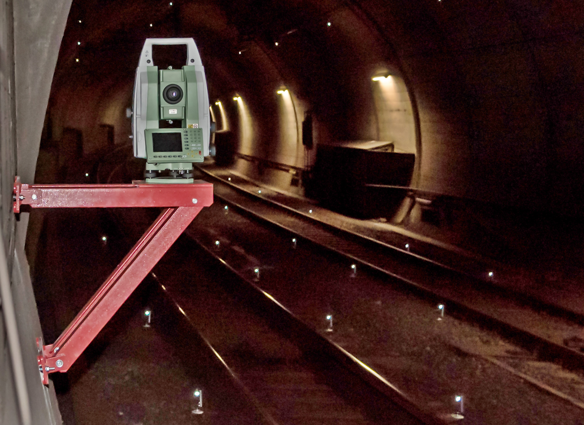
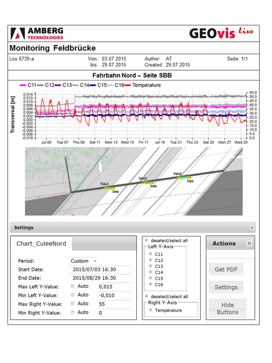
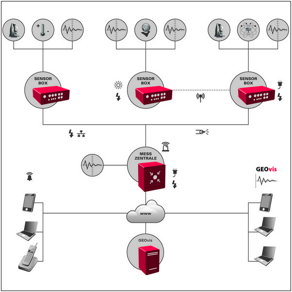
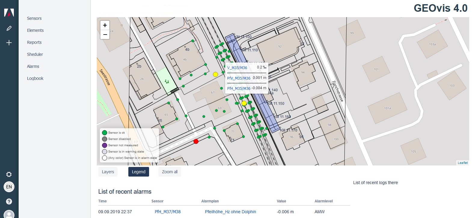
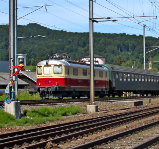
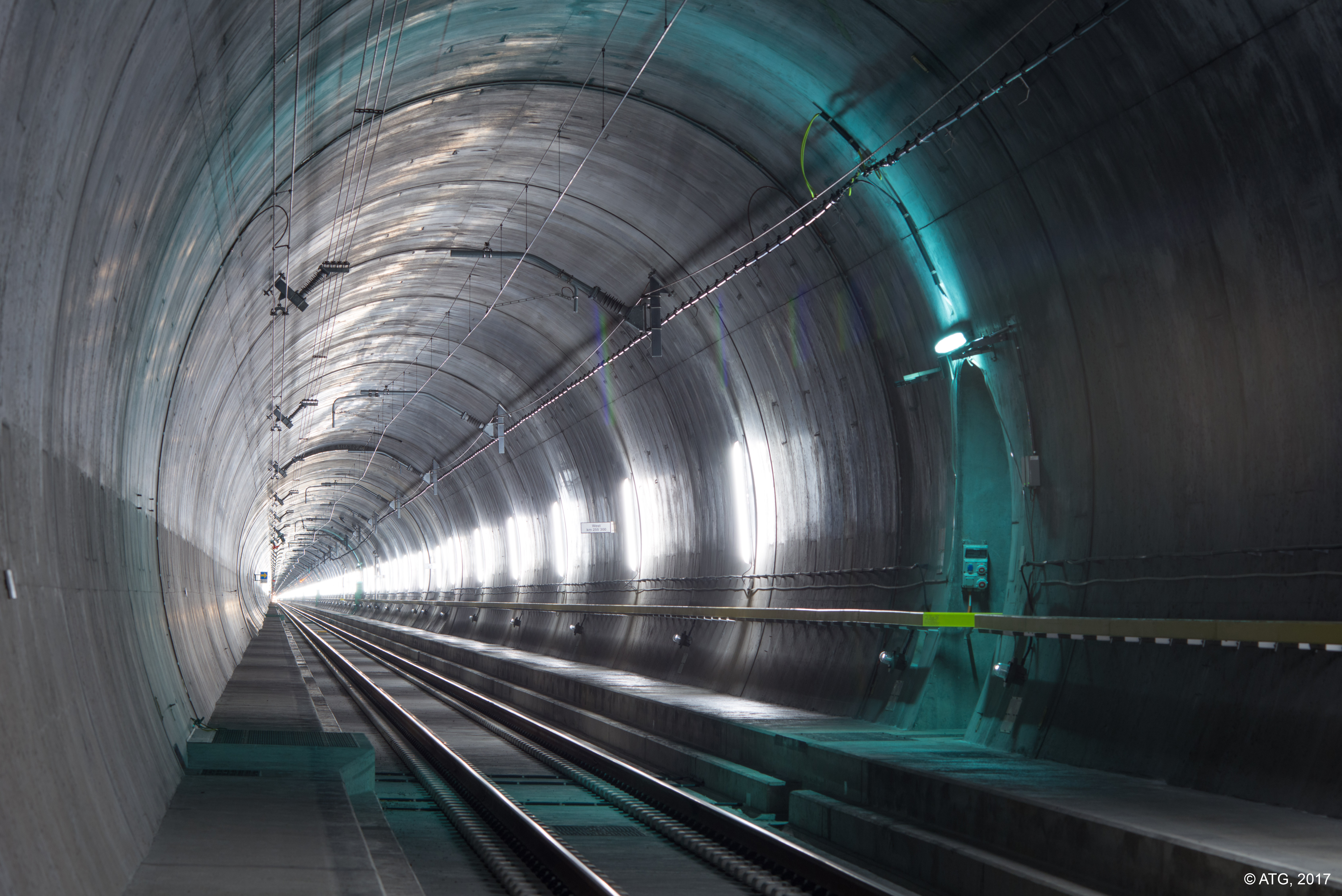
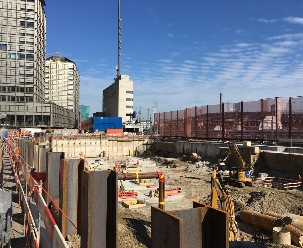
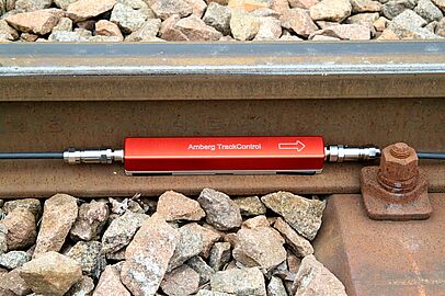
Amberg Geomonitoring
Foundation pits, bridges, buildings, tunnels or the environment – Amberg GeoMonitoring offers you the highest measure of safety and economy thanks to first-class service and the utilisation of innovative technology.